Geoconnex: A Connected Future for Water Data

 Geoconnex connects scattered water datasets through geography, helping fulfill the Internet of Water vision of accessible, actionable water information for all.

What is Geoconnex?

Developed by the Center for Geospatial Solutions, Geoconnex is an open-source reference system that connects water data to the places it describes. Like a digital street address system for the nation’s water features, it helps link information across agencies, organizations, and regions back to real-world locations, making it easier to find, access, and use information like streamflow measurements, water quality reports, and infrastructure records. 

Why This Matters

Geoconnex makes water data easier to find, understand, and use, no matter where it is published. By helping data providers like the United States Geological Survey link datasets through shared location identifiers, it turns fragmented information into a connected, searchable network.  

For researchers, policymakers, utilities, and communities, this means faster discovery, better decisions, and greater transparency. Data is automatically harvested and organized around real-world places, creating a seamless bridge between water data providers and users. 

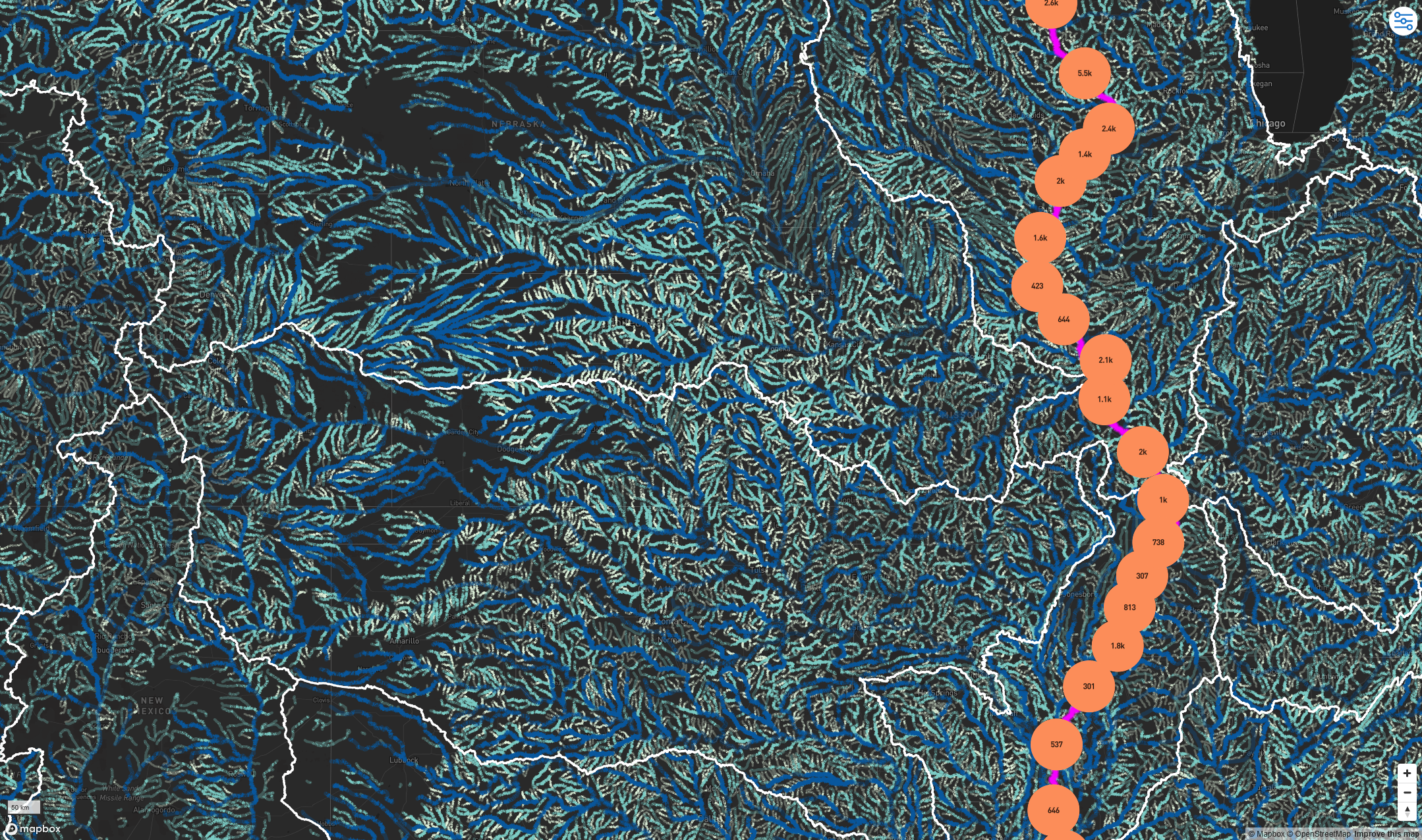
How does Geoconnex work?

Geoconnex links water data to real-world hydrologic features (like rivers, watersheds, reservoirs, wells, and monitoring sites) using shared geographic identifiers. It rests on widespread adoption of metadata best practices; participating data providers publish lightweight metadata files that are automatically harvested and indexed to real-world locations.

This powers a connected, searchable catalog that makes it easy to discover relevant data through a map-based interface or other tools built on the open Geoconnex system. 

An environmental technician in a water quality control of a river.

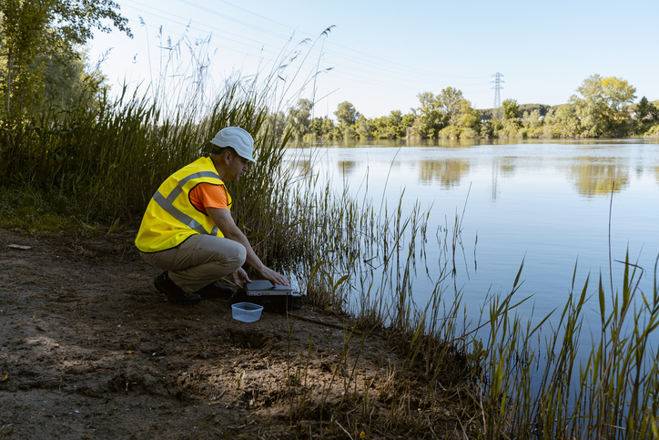
Grounding Data in Real World Waterways

Geoconnex Explorer is an interactive, map-based tool that demonstrates this system in action. Users can click on any U.S. river and instantly access linked information about streamflow, water quality, infrastructure, and more. By drawing from the metadata published and indexed through Geoconnex, the Explorer opens access to a growing network of data about our waterways.
A still of Geoconnex Explorer that shows rivers in the United States Midwest, with the Mississippi River and its corresponding data collection sites highlighted in orange.
Interested in contributing your data? Participate in the Geoconnex network
Data Discovery Years in the Making

Experts in water data, software development, and policy have been developing the Geoconnex system for years. Learn more about the journey in our blogs.