IoW Coalition Tools
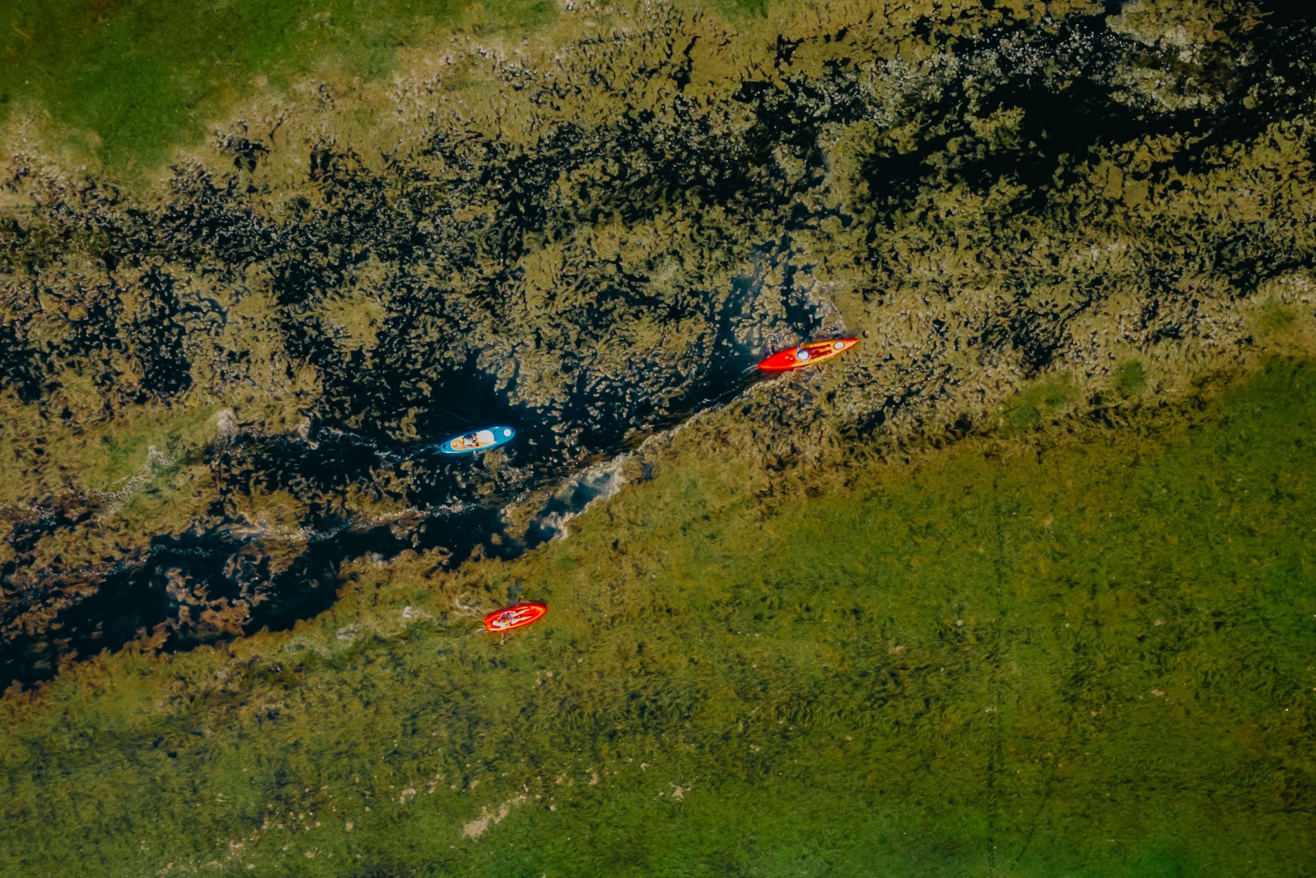
Peter Schreve @ Unsplash
Geoconnex
Developed by the Center for Geospatial Solutions at the Lincoln Institute and the Nicholas Institute at Duke University
Geoconnex is a family of software and practices that will enable users to find water data by theme and location through a simple Google search or a water data-specific search index. Geoconnex will make it possible to quickly and easily find data about a particular water body without prior knowledge of who collects and manages that data.
Data Access Tools
WestDAAT
Developed by the Western States Water Council’s Water Data Exchange (WaDE) Program
WestDAAT provides user-friendly access to data available in a machine-readable format for over 1.7 million active water rights across the West. WestDAAT enables users to filter and visualize data in a map-based interface to aid decision-making processes.
HydroClient
Developed by the Consortium of Universities for the Advancement of Hydrologic Science Inc. (CUAHSI)
HydroClient provides access to over 100 data sources, including over 5 million unique time series, from federal agencies, university researchers, and volunteer science groups through a single map interface. All data are returned in the same format, reducing the time required to find and reformat the data.
Data Management and Publication Tools
BoundarySync
Developed by the Nicholas Institute at Duke University and the Center for Geospatial Solutions at the Lincoln Institute
BoundarySync is an open-source tool that enables utilities to create, digitize, and update their service area boundaries. BoundarySync is an easy-to-use, low-cost option for small and rural utilities who want to maintain digital service area boundaries.
Water Reporter
Developed by The Commons
Water Reporter elevates local monitoring efforts to democratize understanding of water quality across the country with the latest approaches to data management, sharing, and integration.
HydroShare
Developed by the Consortium of Universities for the Advancement of Hydrologic Science Inc. (CUAHSI)
HydroShare enables users to discover multiple types of water data published by others, share data with colleagues and groups, formally publish data with a Digital Object Identifier (DOI) so work can be easily cited, and analyze and visualize data.
HubKit - Coming Soon!
Developed by the Center for Geospatial Solutions at the Lincoln Institute and the Nicholas Institute at Duke University
HubKit is a suite of free, open-source software tools that lets data providers automate the processes of ingesting tabular and geospatial data, standardizing that data, serving data through a standard API, and serving relevant metadata to enable harvesting by Geoconnex.
Data Use Demonstration Projects
California Harmful Algal Bloom Portal
Developed by The Commons in collaboration with the Nicholas Institute at Duke University the California State Water Resources Control Board (SWRCB), Tribal Governments, and community science organizations
The California Harmful Algal Bloom (HAB) Portal enables users to view tribal government, non-profit, and state data on FHABs in bodies of water throughout California. Integrating data from non-state organizations such as tribal governments and community science organizations expands the state’s capacity to monitor and inform the public about HABs.
The North Carolina Lead Service Line Inventory Tool
Developed by the Nicholas Institute at Duke University in collaboration with the North Carolina Rural Water Association
The North Carolina Lead Service Line Inventory Tool overlays digital service area boundaries (created in BoundarySync) with parcel data. This tool was designed to assist rural utilities in North Carolina in developing Lead Service Line Inventories to comply with EPA regulations. It enables utilities to view all structures in their service area that were built before a given date on a map and export a spreadsheet of this information.
North Carolina Water Supply Dashboard
Developed by the Nicholas Institute at Duke University in collaboration with the NC State Climate Office, NOAA’s Carolinas Integrated Sciences and Assessments, and the NC Department of Environmental Quality
The NC Water Supply Dashboard integrates water use data from multiple utilities as well as federal and state data on water availability to improve water management in the state of NC. This tool streamlines fragmented data reporting requirements and helps utilities communicate to their governing boards and the public.
The Haw River Water Data Portal
Developed by the Commons in collaboration with the Nicholas Institute at Duke University and the Haw RiverKeeper
The Haw RiverKeeper monitors and reports on water quality to protect the river and the plants, animals, and people that depend on it. The Haw River Data Portal user Water Reporter to integrate data from the RiverKeeper’s many monitoring programs into one platform. Users can download these data or view them on an interactive map. This new system makes it easier for the RiverKeeper to monitor and protect the Haw River and communicate findings with the public.
Data Exploration & Learning Tools
Public Agency Water Data Inventory Tool
Developed by the Nicholas Institute at Duke University
This tool enables users to explore federal and state data inventories to understand what water data are currently collected and how those data are discovered, accessed, and made usable and includes guidance for public agencies interested in developing their own data inventories.
Coming to Terms
Developed by the Nicholas Institute at Duke University
Coming to Terms is an open-source water data terminology collection that anyone can contribute to. It promotes a shared vocabulary of water terminology and tracks definitions, synonyms, and homonyms of water-related terms.
The Water Budget Navigator
Developed by the Nicholas Institute at Duke University
The Water Budget Navigator is a web application that allows users to compare the water budgeting and water use estimation frameworks used by water resources agencies in the Colorado River Basin states (California, New Mexico, Colorado, Wyoming, and Utah).
In addition to the tools above, we are developing general guidance and data extraction tools for data analysts to make it easier to access data for use.
Stay tuned here for updates!


