Leveraging Tribal Government and Community Science Data to Monitor Harmful Algal Blooms
By: R. John Dawes
August 2021
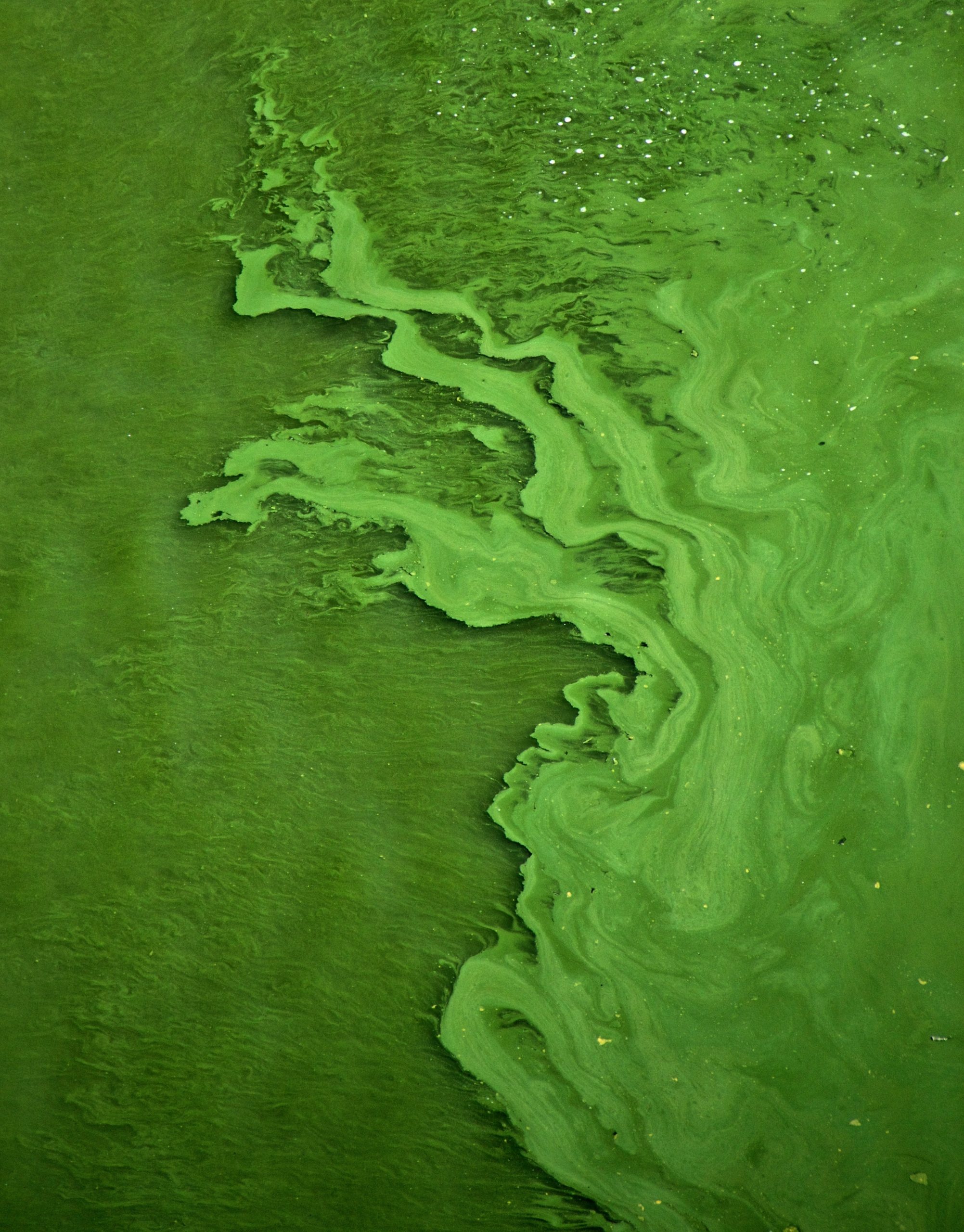
Freshwater harmful algal bloom (FHAB) season is here. In lakes, ponds, rivers, and streams across the country tiny microorganisms are reproducing in mass. Spurred on by the heat and high concentrations of nutrients, blue-green algae (also called cyanobacteria) form a thick green scum on the surface of water bodies. This scum is not only foul-smelling and unsightly, it’s also dangerous to people, pets, and wildlife. Some types of cyanobacteria produce toxins that cause people who come into contact with them to become sick and, in severe cases, even die.
California is a hot spot for FHABs. In 2020, there were more than four times as many FHAB events reported in California as there were just 4 years earlier in 2016.[1] The key factors responsible for the rise are higher summer temperatures and more severe droughts brought on by climate change as well as increased nutrient levels due in part to run-off from farms and urban areas. In addition to implementing strategies to combat FHABs, the California Department of Water Resources (DWR) is partnering with The Commons and the Internet of Water to develop a robust FHAB monitoring and notification system to warn the public about potential hazards and to better track FHABs as they occur.
“In 2020, there were more than four times as many FHAB events reported in California as there were just 4 years earlier in 2016.”
To successfully implement this tool, DWR had to find a way to get more data about FHABs and to get this data faster. The problem is that there’s a lot of water to cover – too much for any single agency. What’s more, FHABs can grow quickly and become toxic in a matter of days or hours. Satellite imagery is beginning to fill monitoring gaps, but there is another largely untapped source of monitoring data that is available now. Many tribal governments and non-governmental organizations (NGOs) are already collecting valuable FHAB data. This data has not been integrated with state data in the past because there was no way for tribal governments and NGOs to easily submit data to the state and no way for the state to quickly integrate all this data in one standardized platform that could be used by the public.
Working in close partnership with the Internet of Water, The Commons has released final recommendations that outline best practices for data structure and integration for a California FHABs Monitoring and Notification System. This will enable the State of California to leverage tribal and community science data to better inform the public about FHABs in their area. This effort was part of a broader coalition of data users and producers consisting of Native American tribal governments, leading community science NGOs, California’s Water Control Boards, members of the California Office of Environmental Health Hazard and Assessment, and the Water Data Collaborative.
Information gathered from workshops and surveys showed that many tribal governments and NGOs were willing and able to support state FHAB monitoring efforts. This process also gave the project team specific information on the varying capacity of each non-state entity. Based on this information, the report includes a detailed data model outlining the ingestion and data management process, and an explicit set of recommendations for the resulting system to communicate risk to decision-makers and the general public.
Here are some of the key recommendations:
- Implement a cost-effective, tiered process for gathering data that considers the capacity of the partnering tribal governments and NGOs.
- Develop data products (e.g. interactive dashboards) that better communicate the status of reported FHABs in California and the levels of risk associated with them.
- Create an open FHAB data framework that offers the ability to export data in a machine-readable format.
- Develop alert systems that notify participating members of the public of FHAB events.

This report outlines the initial phase of a multi-phase effort to integrate state FHAB monitoring data with non-state FHAB monitoring data to create a comprehensive statewide system.
The plan and recommendations address data ingestion processes common beyond this specific use case. As such, the information provided here is a resource for other entities looking to modernize their database infrastructure and build programs that accept data from a network of monitoring programs.
The report further details data collection and management requirements and provides guidance on how to develop an application programming interface (API) and use artificial intelligence and modeling to improve information transfer and delivery.
Dispersed and emergent threats to clean water like FHABs require novel solutions. Robust community monitoring programs combined with powerful software such as Water Reporter can drive tangible policy outcomes. For example, Buffalo Niagara Waterkeeper’s Water Reporter Map was used to advocate for the passage of the Water Resources Development Act that carves out dedicated funding for monitoring and restoration in Lake Erie. Community science data is also helping scientists understand the airborne toxins produced by HABs in Cape Cod.
Community scientists and their data are vital to support government efforts to track fast-moving and widespread environmental threats like FHABs. Stay tuned for further updates as the project plan is implemented with support from the Pisces Foundation and in coordination with California’s Surface Water Ambient Monitoring Program.

References
[1] https://www.nrdc.org/experts/kate-poole/dwrs-drought-response-will-worsen-dangerous-algal-outbreaks
Photo Credits:
[1]Header photo by George Cox @ Unsplash [2] Footer photo by Mihaly Koles @ Unsplash