by Lillian Watson | Feb 23, 2023 | Blog
We envision the Oregon Water Data Portal (OWDP) as a single point of access on the Internet, where people can find data about Oregon’s water – from how much of it there is in certain regions, to how clean it is, how it is transported to communities, to how much is needed to support fish, wildlife, and habitat.
by Lillian Watson | Jan 26, 2023 | Blog
The Water Hub is a program of Climate Nexus that provides communications help to water advocates and experts, uplifts traditionally marginalized voices, and adds capacity to groups that have historically been under-resourced. In this blog, we interview Nicole Lampe, managing director of the Water Hub, about what she learned from their National Voter Poll on Water.
by Lillian Watson | Nov 17, 2022 | Blog
Monitor My Watershed is a water quality data sharing portal that enables users to continuously stream real-time in-situ sensor data and visualize that data through a web application. This free and open-source platform has powerful advantages for researchers, students, community scientists, and more.

by Lillian Watson | Oct 28, 2022 | Blog
In California, as in the rest of the country, Freshwater Harmful Algal Blooms are on the rise. The CA State Water Board has partnered with The Commons and the Nicholas Institute to develop a robust FHAB monitoring and notification system to warn the public about and better track FHABs as they occur.
by Lillian Watson | Sep 15, 2022 | Blog
IoW Data Hubs allow users to publish water data from disparate sources in one place, ensuring that data and metadata from these disparate sources are standardized before they are published so that they can be seamlessly found and used together. IoW Hubs are a key element of the underlying architecture that makes an internet of water possible.
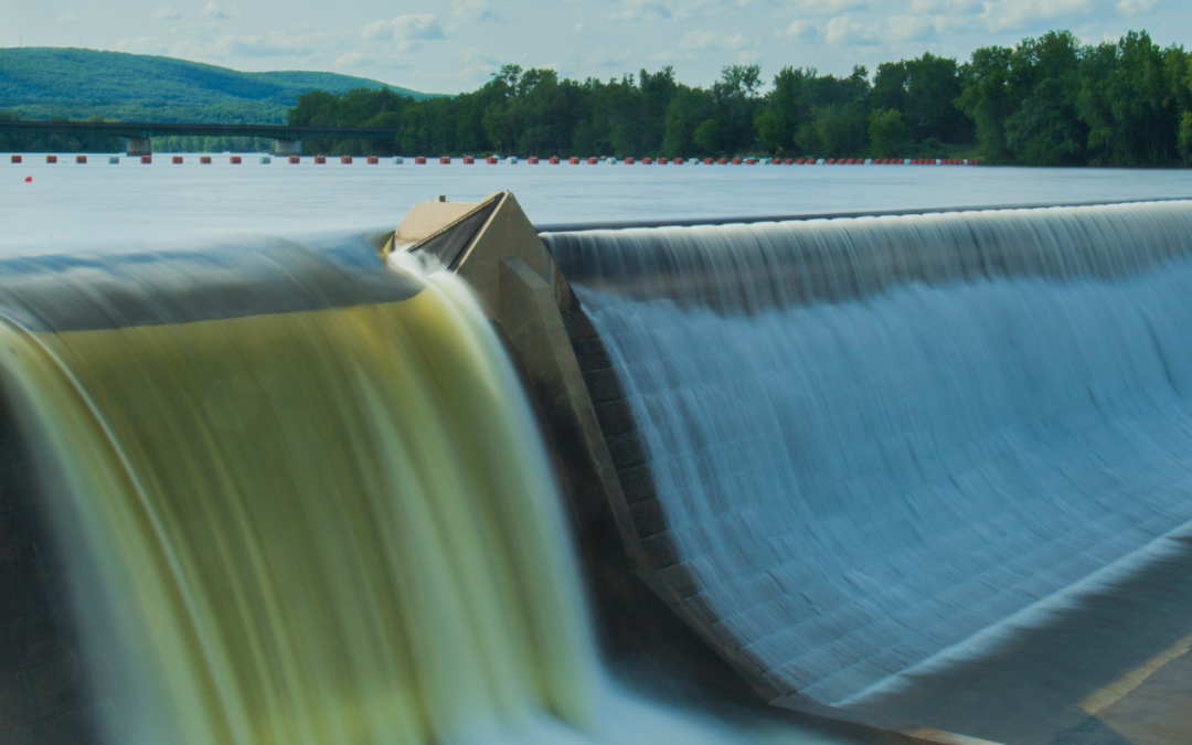
by Lillian Watson | Aug 18, 2022 | Blog
All across the US, hydropower plants are nearing the end of their current licenses, allowing communities to reevaluate them through the Federal Energy Regulatory Commission (FERC) relicensing process. There are a little over one thousand FERC licensed dams across the US, and more than 400 of them are scheduled to come up for relicensing by 2033.