Getting to Know the Internet of Water Service Center
A Conversation with Director Kyle Onda
October 2023
A founding member of the IoW team, Kyle Onda knows a thing or two about the lengths it takes – from technology development to stakeholder development, financing to capacity-building, and more — to help organizations translate the IoW Principles into practice. His diverse background – including training and experience as an environmental engineer, urban planner, environmental public health professional, geospatial technologist, and social scientist – offers a unique perspective on the challenges and possibilities of transforming how we manage water data for the benefit of everyone.
Now, in his new role as Director of the Internet of Water at the Center for Geospatial Solutions, he is poised to advance the vision of a modernized water data management infrastructure even further. How? By helping more organizations than ever embrace these practices.
We sat down with Kyle to learn more about his personal connection to the Internet of Water, delve into the role of CGS in supporting its mission, and discover his vision for a more connected and data-driven future for water data management.
This interview has been edited for concision and clarity.

Internet of Water Director, Kyle Onda
Your work with the Internet of Water goes back to 2019. Tell us a bit about that journey.
I was a grad student focused on water utility management and planning when I came across a data architect job posting for the Internet of Water. At the time, the Internet of Water Coalition as we know it today was consisted of just the Aspen Institute report – the first call to action from water experts for more accessible water data to enable better water management decisions.
That resonated with me. As a water data analyst, close to 80 percent of my time was spent looking for, downloading, and reformatting water data. I personally experienced how our fragmented water data landscape slows down research and decision making which made me want to improve the water data landscape for others. The decision to get involved with this movement totally changed the trajectory of my career.
It certainly has, which brings us to today and your role as the Director of the IoW Service Center at CGS. Could you tell us a bit about CGS and its role in supporting the Internet of Water?
The Center for Geospatial Solutions helps people understand and address environmental and social issues through the application of geospatial technology and data. In 2019, the Nicholas Center at Duke – where the project originated – was looking for a new partner to steward the next phase of the Internet of Water’s growth and technology. That’s where CGS came in. In its role as the IoW Service Center, we serve three fundamental roles:
We are the main facilitator for the Internet of Water Coalition, the network of organizations and individuals committed to shaping and promoting the mission and vision of the Internet of Water.
We’re also responsible for developing the digital infrastructure that powers the Internet of Water, a system we refer to as Geoconnex.
And lastly, we serve as a technical assistance resource for organizations looking to modernize their water data infrastructure in line with the IoW principles. We offer a range of services from direct assistance managing and publishing data to creating data visualizations and decision-support tools that rest on good water data.
I personally experienced how our fragmented water data landscape slows down research, slows down decision-making.
We are the only entity entrusted by the IoW Coalition to provide these services and advice without bias toward specific technologies or vendors. We want to help water producers, users, and decision-makers accomplish their goals in the most efficient and effective way, whatever the technology options and best configurations might be.
You’ve had this front row seat seeing the Internet of Water movement grow – where do you see it heading next?
We’ve completed a four-year period of trial and experimentation — executing demonstration projects, researching what technical infrastructure would be needed to support an open water data system for the whole country, and growing a coalition of champions to help define best practices. Now, we’re at a turning point of growing and spreading practice adoption of the IoW principles beyond early adopters. We’re in a critical period of scaling participation and adoption of the technology.
As you’re thinking about the mobilization that’s needed in the future, what is your one argument for why data producers and users should get involved?
It all goes back to the Golden Rule — treat the people seeing your data how you would want to be presented with their data. If all water data publishers were just a little more thoughtful about how they presented their data to the world, how we find, access, and use water data would be transformed, including within their own organization. Data is more valuable in the context of other data.
What is the thing that you’re most proud of to date?
I’m especially proud of getting the ground running with Geoconnex – the digital infrastructure for the Internet of Water — which will help make water data as visible and easy to access on the internet as weather data is today. I’m very proud to have laid the technical foundation for that and to have done it in an open-source way that anyone can take forward.
On that last point, what is the significance of this underlying technology being open source?
When it comes to data that’s been collected with public dollars for public purposes, open data practices are critically important. I come from an urban planning and public health background which is very much about managing positive externalities, or the things you do that benefit others. If you can create a system where people are incentivized to produce a system with positive externalities, that really can get a lot of benefit going for everyone. The open-source community emulates that. People contribute the software or data with no expectation of being paid for it in anything but maybe recognition. People are willing to contribute to something greater than themselves.

Kyle Onda as a graduate student
Thinking about public services, I understand you also serve on the board of your local water utility?
Yes, I recently joined the board of directors for the Orange Water and Sewer Authority in Orange County, North Carolina which serves about 85 thousand people. I love water utilities. In the past four years working with IoW, I’ve built a lot of expertise in water data as well as problems facing water utilities. I figured, why not use the expertise in a way that directly benefits my community.
So when did this love for water utilities start?
When I was very young, in elementary school, my grandmother moved to Tijuana. We would go visit her and my family would always tell me not to drink the water. I was always perturbed by that. That concern grew and by high school I knew I wanted to work to improve water systems so that all people have safe water to drink. At first, I wanted to actually build water systems in rural countries and went to undergrad with that in mind. But I found that ensuring access to safe water is a much more complex problem than picking the right pumps and pipes. That realization drove me to urban planning and public health and eventually, to the Internet of Water.
Water is fascinating. In many ways it’s our most important natural resource and yet it’s considered one of our cheapest. And the fact is, we don’t know in a comprehensive way how much water there is, or where it currently goes. How can we NOT make the investments needed in understanding the state of our water supply? I can’t see getting bored in this field. There’s always something new or some problem that needs to be addressed.

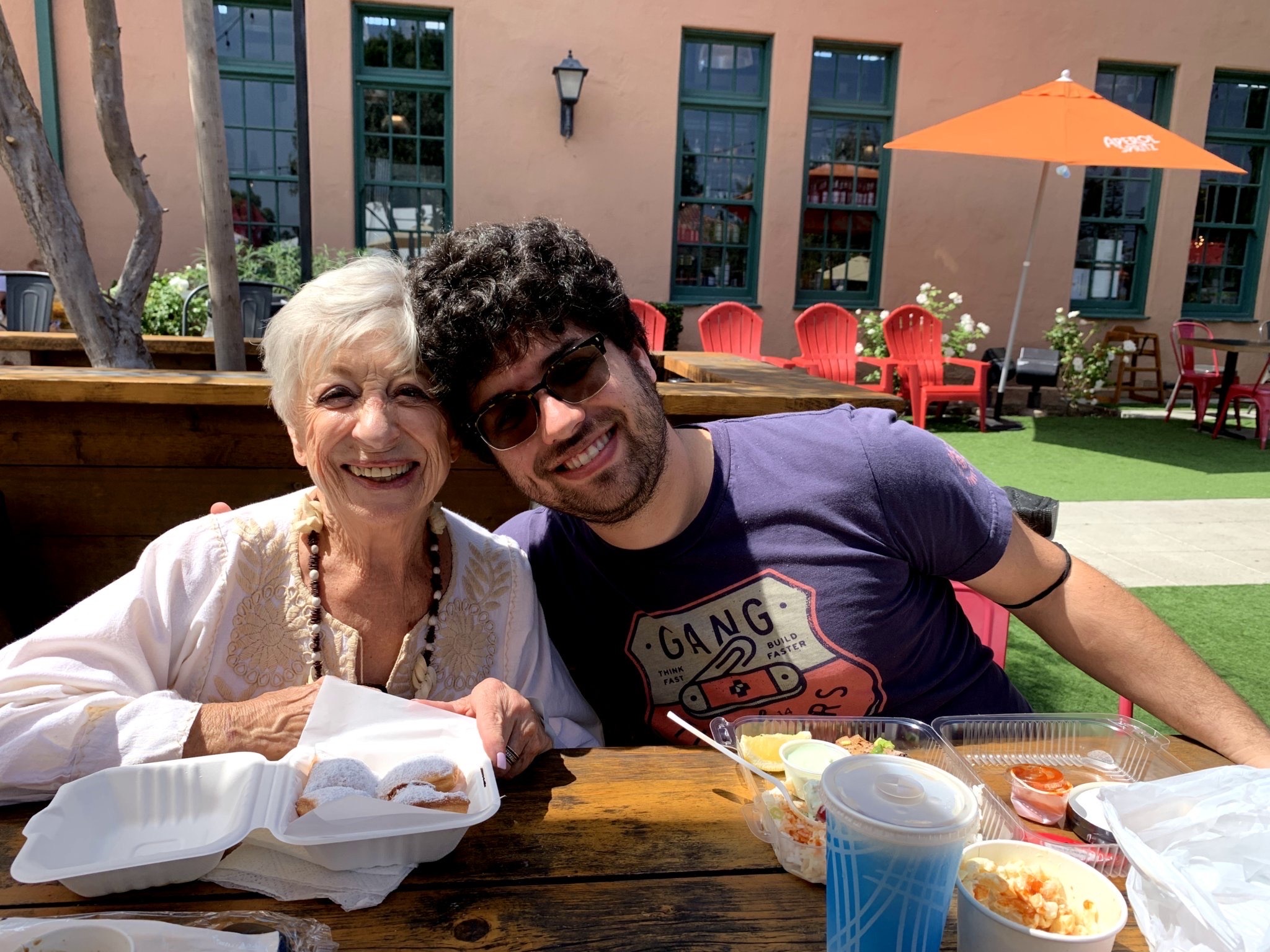
Kyle Onda and his grandmother. His childhood visits to see her in Tijuana, where water quality was a frequent concern, helped ignite a passion for water stewardship.
Photo Credits
Header Photo: Nathan Anderson, Unsplash
