by Lillian Watson | Sep 19, 2022 | Events, Webinars
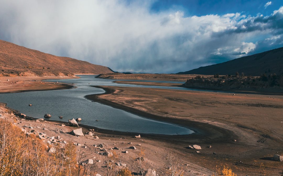
With the passage of the Disaster Recovery Reform Act in 2018, the Federal Emergency Management Agency launched a new program to provide a larger and more reliable funding stream for pre-disaster mitigation – the Building Resilient Infrastructure and Communities (“BRIC”) Program. In this webinar, Scott Baldwin, Senior Mitigation Manager in Hagerty Consulting’s Recovery Division, will discuss the structure of the BRIC program and how communities are beginning to use these funds to prepare for future natural disasters, including droughts.

by Lillian Watson | Sep 1, 2022 | Events, Webinars
The water quality movement needs pipelines for people to connect, and data to be shared. The Commons presents its advancements in connecting people through the WDC Mainstem Network and sharing data through the Water Reporter API.

by Lillian Watson | Jul 22, 2022 | Events, Webinars
The Open Geospatial Consortium’s family of API standards are helping make geospatial data on the web more accessible and interoperable. This presentation will introduce pygeoapi – a Python server implementation of OGC’s standards. Kyle Onda, from the Lincoln Institute of Land Policy’s Center for Geospatial Solutions, will walk you through how to set up an API endpoint and discuss several ideas for how to use this flexible, open-source API framework for water data applications.

by Joshua Wilson | Jun 24, 2022 | Events, Webinars
This two-part workshop series will feature a project-based overview of concepts and open-source tools for performing geospatial analyses with hydrologic data using web services in R and Python. Join us for practical demonstrations and guidance for all experience levels.
Part one will focus on R and take place on July 19. Part two will focus on Python and will take place on July 26.

by Joshua Wilson | Apr 22, 2022 | Events, Webinars
The expansion of permanent cropland and continuing growth of urban communities are increasing demands on California’s limited water resources. These conditions are driving innovation to improve water risk management due to volatile hydrology. Urban agencies and Central Valley farmers regularly transact in a water market that is under new competitive pressure as participants manage this new normal. To provide greater market transparency, WestWater Research and Nasdaq have developed the NQH2O index which provides a weekly snapshot of California water prices. Market participants rely on the index as an informational tool to understand current prices in California’s spot water market. In addition, farmers are beginning to acquire futures contracts settling against the index to offset the financial risks of water market price volatility. In this presentation, WestWater staff will introduce California’s water market, the NQH2O index, and the new risk management tool of water futures contracts.


