by Olivia Snavely | May 21, 2024 | Events, Webinars
Discover how the NRCS has made accessing a wealth of air and water data simpler for the general public and developers. With the introduction of new RESTful API methods, in addition to tools like SOAP Webservice, Air, Water & Soil Plots, a Report Generator, and more, finding critical climate data is more streamlined than ever. We’ll cover the suite of products and tools the NRCS uses to support access to critical climate and water data.
by Paula Basile | Jan 24, 2024 | Events, Webinars
Join the Internet of Water Coalition as we bring together water leaders to discuss the role of data in supporting water reuse. This panel discussion will highlight lessons learned from two on the ground examples of data-driven water recycling partnership.
by Paula Basile | Jan 5, 2024 | Events, Webinars
Dive into HydroSource, the leading national water-energy platform for hydropower datasets, visualizations, and analytics with Oak Ridge National Laboratory.
by Lillian Watson | Nov 1, 2023 | Events, Webinars
Discover the Network Linked Data Index (NLDI)—a search engine that indexes data to a river network —and its applications for data producers, application developers, data analysts, and modelers. A vital component of several USGS web systems as well as the growing index of data in Geoconnex (the Internet of Water’s core technology), the NLDI has been key to unveiling relationships between single monitoring locations and the broader water world. Now, following a recent effort to convert the code base to Python to increase open-source accessibility, it’s set to make water data even more discoverable and easily accessible. Join this webinar to learn more about the NLDI’s past as a groundbreaking EPA and USGS collaboration, and its future, including the development of client applications in the USGS Monitoring Location pages and Water Quality Portal. The presentation will be targeted at both a technical and non-technical audience.
by Lillian Watson | Aug 17, 2023 | Events, Webinars
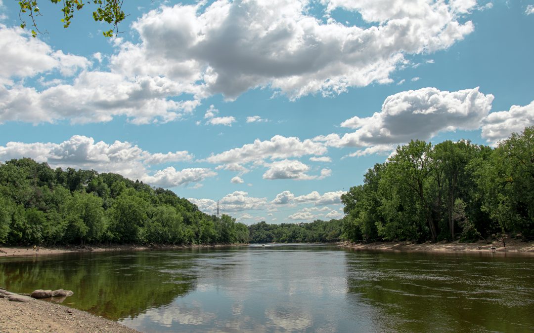
The Great Lakes to Gulf Virtual Observatory (GLTG) is an interactive, geospatial application that provides user-friendly access to water quality information from the Mississippi River and its tributaries. GLTG helps people visualize and better understand nutrient pollution and its historical evolution. From agricultural conservation practices to green infrastructure, to Nitrate Loading trends, there’s a wealth of information at your fingertips. We’ll walk you through the different layers and data available and then dive into lessons learned from our work on nutrient trends analysis in the Mississippi River Basin.
by Lillian Watson | Aug 2, 2023 | Events, Webinars
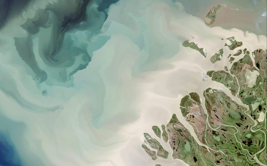
Join the Center for Geospatial Solutions to learn more about the Internet of Water’s flagship technology, Geoconnex. This revolutionary water data-specific search index links disjointed water data with structured metadata, enabling seamless organization and discovery of information by theme and location. Ultimately, Geoconnex will unlock a Google-like experience, helping save countless hours in water data searches for the benefit of water managers, researchers, and the public alike.


