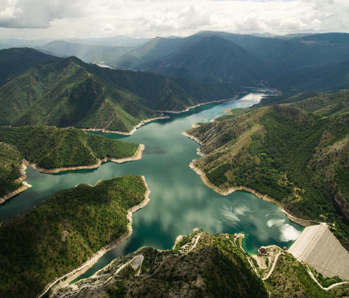
by admin | Nov 26, 2018 | Avoided Costs, Blog, Data Stories, Government, Improved Decision-Making, Infrastructure, Return on Investment, Time Savings, Water quantity
U.S. Geological Survey stream gage data are used by organizations to better manage floods through reservoir operations and design, flood forecasting, and floodplain management. The estimated benefits of stream gage data for flood-related decisions were assessed using direct surveys and the Business Model Maturity Index method. The value of data varied dramatically depending on whether the data were considered responsible for the full benefit of flood management decisions or a relative contribution to the decision.
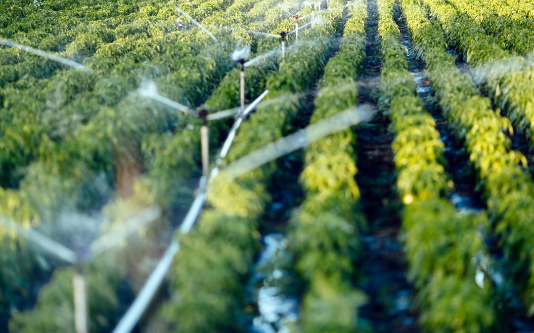
by admin | Nov 2, 2018 | Agriculture, Blog, Data Stories, Government, Increased Productivity, Innovation, Return on Investment, Water quantity, Water Savings, Water use
The California Irrigation Management Information System (CIMIS) provides raw weather data, as well as information on evaporation rates and crop water usage, to inform irrigation decisions. A series of surveys demonstrated CIMIS was used to save water and increase crop productivity. The benefit-to-cost ratio of CIMIS to irrigation users was between $56 and $76 for every $1 spent.