by Ashley Ward | Aug 5, 2020 | Blog, Data Stories, Government, Improved Decision-Making, Increased Productivity, Infrastructure, Innovation, Non-governmental, Return on Investment, Water quality, Water use
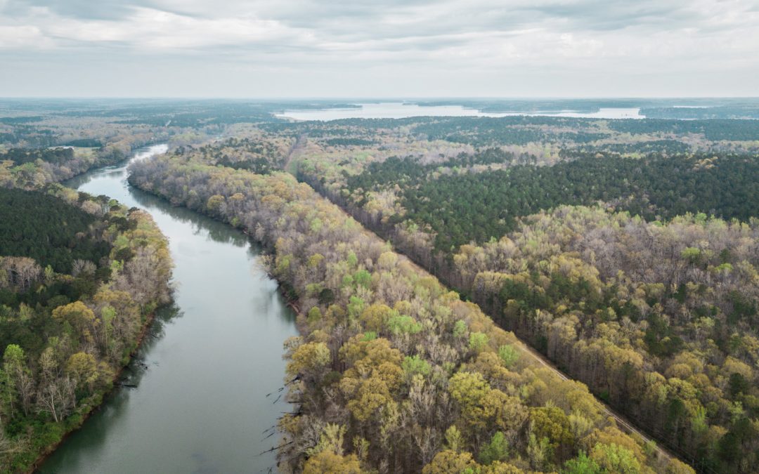
Established in 1994, Chattahoochee Riverkeeper (CRK) is a non-governmental and community science organization based out of Atlanta, GA that is dedicated to the protection, preservation, and stewardship of the Chattahoochee River and its watershed. Over the last two and a half decades, the work of CRK, the communities in which they work, and the City of Atlanta have and continue to create a cleaner Chattahoochee River that attracts more recreation, wildlife, and economic development.
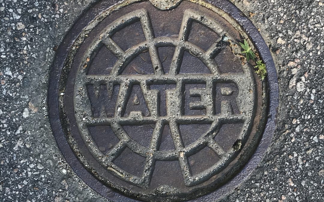
by Kristen Downs | Apr 28, 2020 | Accurate Design and Integrated Operations, Blog, Improved Decision-Making, Increased Productivity, Innovation, Return on Investment, Time Savings
The Albuquerque Bernalillo County Water Utility Authority (Water Authority) of Albuquerque, New Mexico has been expanding its advanced metering infrastructure (AMI) program since 2011. As of 2019, 49% of its 200,000 accounts have been replaced with AMI-enabled meters. The Water Authority harnesses the high-resolution water usage, along with other AMI data, to benefit their employees, customers, operations, and water resources.
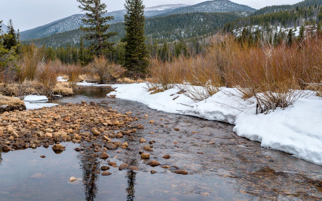
by Lauren Patterson | Jun 5, 2019 | Accurate Design and Integrated Operations, Avoided Costs, Blog, Government, Improved Decision-Making, Increased Productivity, Return on Investment, Water quantity
The Snow Survey and Water Supply Forecasting (SSWSF) program’s data are widely used by agricultural communities, government agencies, private businesses, and recreationists to inform day-to day operations and broad decision-making. We compiled numerous case studies documenting the economic value of the SSWSF program to show the benefit-to-cost ratio for different users. We found that 38% of the time the benefits from a single case study more than covered annual program costs.

by Lauren Patterson | Nov 27, 2018 | Accurate Design and Integrated Operations, Avoided Costs, Blog, Data Stories, Government, Improved Decision-Making, Increased Productivity, Industry, Return on Investment, Water quantity
The National Weather Service is the primary source of public weather data and forecasts used to inform decision-making and mitigate losses from extreme weather. A willingness-to-pay survey and an impact analysis suggest the potential benefit-to-cost ratio is between $3 (includes forecasts from all federal and private agencies) and $15 (assumes most of the underlying data and forecasts come from the National Weather Service) of value for every $1 spent.
by admin | Nov 26, 2018 | Avoided Costs, Blog, Data Stories, Government, Improved Decision-Making, Infrastructure, Return on Investment, Time Savings, Water quantity
U.S. Geological Survey stream gage data are used by organizations to better manage floods through reservoir operations and design, flood forecasting, and floodplain management. The estimated benefits of stream gage data for flood-related decisions were assessed using direct surveys and the Business Model Maturity Index method. The value of data varied dramatically depending on whether the data were considered responsible for the full benefit of flood management decisions or a relative contribution to the decision.

by admin | Nov 2, 2018 | Agriculture, Blog, Data Stories, Government, Increased Productivity, Innovation, Return on Investment, Water quantity, Water Savings, Water use
The California Irrigation Management Information System (CIMIS) provides raw weather data, as well as information on evaporation rates and crop water usage, to inform irrigation decisions. A series of surveys demonstrated CIMIS was used to save water and increase crop productivity. The benefit-to-cost ratio of CIMIS to irrigation users was between $56 and $76 for every $1 spent.