Symposium in Honor of David Maidment: GIS in Water Resources and More
This event is part of the American Water Resources Association’s 2022 Geospatial Water Technology Conference and is sponsored by CUAHSI.
This event is part of the American Water Resources Association’s 2022 Geospatial Water Technology Conference and is sponsored by CUAHSI.
Join CUAHSI’s workshop on the emerging discipline of hydrogeodesy: the measurement of the distribution and movement of water on and near Earth’s surface using observations of Earth’s shape, orientation, and gravitational field.

Since 2001, across a 35,000 km2 area, the Oak Ridges Moraine Groundwater Program (ORMGP) has carved out a path to collect, manage, and, via a multi-faceted website, share a wealth of water-related data and interpretations, all aimed at improving land use and water-related decision making in Ontario, Canada. In this webinar, Steve Holysh, Program Co-Manager and Senior Hydrogeologist at ORMGP, will provide an overview of the website, outlining a potential data and resource management path for others to follow and build upon.
Through our start-up period, we learned that the strength of the IoW is its capacity to unite independent organizations around the common goal of modernizing water data infrastructure. Now, as we enter our growth phase, we are scaling up from a project of the Nicholas Institute to a coalition of organizations working with government partners to enact the IoW vision.
The work to modernize water data infrastructure often goes on under the radar as part of the tireless regular operations of public agencies. But over the past few years, often in response to drought, several western state legislatures have devoted attention and funding to the issue. Recently, Oregon became the latest state to write new policy around water data.

The upcoming 2022 National Water Use Data Workshop is a collaboration between the Western States Water Council Water Information Management Systems (WIMS) Group, USGS National Water Use Team, Interstate Council on Water Policy, and the Internet of Water.
States struggle to complete Clean Water Act Assessments due to the complexity of gathering and analyzing massive datasets. Arizona used free open-source software to reduce the time it takes to generate an assessment from 9 months to 15 minutes. In this webinar, Jason Jones, Senior Scientist at the Arizona Department of Environmental Quality, will demonstrate how Arizona’s publicly accessible interactive Water Quality Assessment Dashboard provides full transparency behind each decision and informs users of what additional data is needed to fill data gaps.

Over the past year, Haw River Assembly has partnered with The Commons to integrate its water quality monitoring programs within Water Reporter – a digital platform for community science. Hear from Emily Sutton, the Haw Riverkeeper, on the environmental issues facing the river and how Water Reporter helps users to better understand those issues and identify solutions.
The Western US is experiencing unprecedented droughts while its population continues to grow. This puts pressure on water management systems and increases the need for regional data analyses. In 2011, the Western States Water Council launched the Water Data Exchange (WaDE) to help member states share data to enable multi-state analyses and inform regional planning.
Why is stakeholder engagement important? Is all stakeholder engagement the same? Should we engage differently with stakeholders around technology projects? Ashley Ward, Engagement and Outreach Associate for the Internet of Water Project at Duke University, has been engaging with stakeholders throughout the nation on a diversity of topics for over a decade. In this webinar, Ashley Ward will discuss the Internet of Water’s four-step process for stakeholder engagement and share lessons learned from working with stakeholders on technology and data projects.
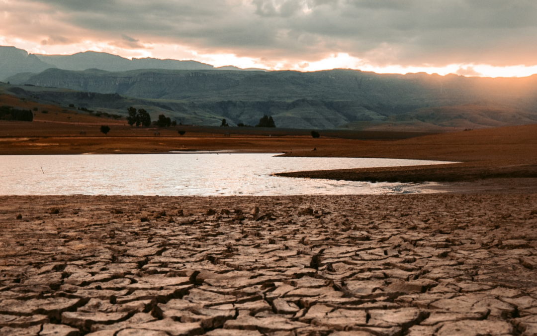
Early December 2021 was the first time in 13 years that at least half of the state of North Carolina was in Severe Drought or worse. A lot has changed in the world of drought monitoring since our last widespread severe drought, especially the data we use and how we visualize and share it. This current drought has made the power of those advancements clear.
Modern utilities are constantly evaluating new technologies and processes to streamline workflows and increase sustainability. In this webinar, you’ll hear how innovative data management at one of the country’s largest water and wastewater utilities is improving decision-making and supporting strategic priorities. Featuring Yvonne Carney, Strategic Performance Director, WSSC Water, Office of Strategy and Innovation.

PFAS (per- and poly-fluoroalkyl substances) are a group of synthetic chemical compounds and emerging contaminants that have been found in water all over the country. North Carolina has had well-publicized concerns with PFAS contamination, which have led to various data collection efforts across multiple organizations. These disparate datasets will be used to guide future regulation and enforcement across the state. But, without greater coordination between the academic and policy communities in North Carolina, these data will remain fragmented, limiting their ability to provide timely and accurate insights about PFAS contamination.

Everyone needs water, but many Americans are struggling to pay the rising costs of water services. The Nicholas Institute for Environmental Policy Solutions’ Water Policy Program has developed a water affordability dashboard that allows users to assess affordability across different water utilities using flexible, self-selected parameters.
Without consistent, standardized, and easily accessible water data, the true state of water resources is not accurately represented. As a result, data users may make faulty assumptions and ill-informed decisions. Poor decisions can be catastrophic, especially as water resources become both increasingly scarce and in high demand. IoW is developing a solution.
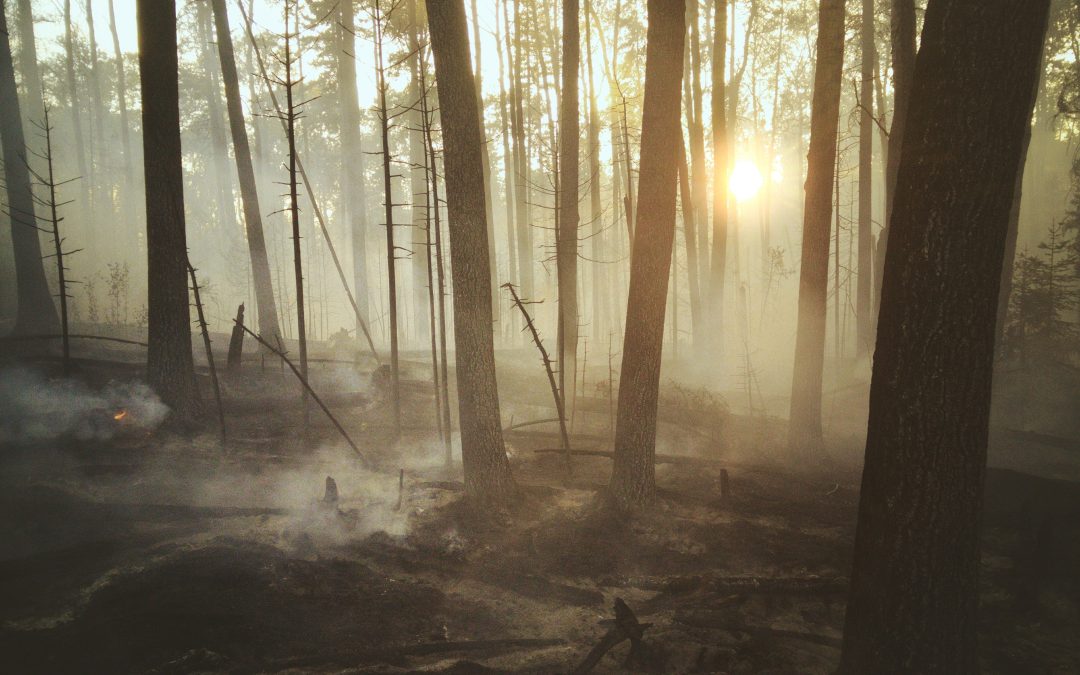
Nearly 70 years after Steinbeck wrote East of Eden, his words still ring true. With satellite images showing receding reservoirs contoured with pale bathtub rings of dry earth, drab mountain peaks where white snowpack melted away months ago, and so much smoke, the dry years have again put a terror across California.