
Say Hello at WaterSciCon!
Connect with Internet of Water Coalition leaders at WaterSciCon24! Learn what the IoW is all about and see our community’s work at these great sessions.
Connect with Internet of Water Coalition leaders at WaterSciCon24! Learn what the IoW is all about and see our community’s work at these great sessions.
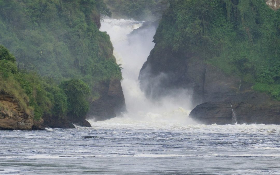
Members from the Center for Geospatial Solutions traveled to Uganda to build relationships and learn about environmental data challenges in Uganda.
Discover how the NRCS has made accessing a wealth of air and water data simpler for the general public and developers. With the introduction of new RESTful API methods, in addition to tools like SOAP Webservice, Air, Water & Soil Plots, a Report Generator, and more, finding critical climate data is more streamlined than ever. We’ll cover the suite of products and tools the NRCS uses to support access to critical climate and water data.
Learn more about Geoconnex, the technology transforming our shared water data infrastructure, and how community involvement is at the core of its design.
Join the Internet of Water Coalition as we bring together water leaders to discuss the role of data in supporting water reuse. This panel discussion will highlight lessons learned from two on the ground examples of data-driven water recycling partnership.
Dive into HydroSource, the leading national water-energy platform for hydropower datasets, visualizations, and analytics with Oak Ridge National Laboratory.
Discover the Network Linked Data Index (NLDI)—a search engine that indexes data to a river network —and its applications for data producers, application developers, data analysts, and modelers. A vital component of several USGS web systems as well as the growing index of data in Geoconnex (the Internet of Water’s core technology), the NLDI has been key to unveiling relationships between single monitoring locations and the broader water world. Now, following a recent effort to convert the code base to Python to increase open-source accessibility, it’s set to make water data even more discoverable and easily accessible. Join this webinar to learn more about the NLDI’s past as a groundbreaking EPA and USGS collaboration, and its future, including the development of client applications in the USGS Monitoring Location pages and Water Quality Portal. The presentation will be targeted at both a technical and non-technical audience.
A founding member of the IoW team, Kyle Onda knows a thing or two about the lengths it takes to translate the IoW Principles into practice. His diverse background offers a unique perspective on the challenges and opportunities ahead. Now, in his new role as Director of the IoW at CGS, he is poised to advance the vision of modern water data infrastructure even further.

Across the Western US, regional water use analysis and planning are increasingly important due to unprecedented drought and high demand growth. However, reconciling differing data access protocols, structures, and terminologies across states is a challenge. WestDAAT provides access to data in a machine-readable format for over 1.7 million active water rights.
The Great Lakes to Gulf Virtual Observatory (GLTG) is an interactive, geospatial application that provides user-friendly access to water quality information from the Mississippi River and its tributaries. GLTG helps people visualize and better understand nutrient pollution and its historical evolution. From agricultural conservation practices to green infrastructure, to Nitrate Loading trends, there’s a wealth of information at your fingertips. We’ll walk you through the different layers and data available and then dive into lessons learned from our work on nutrient trends analysis in the Mississippi River Basin.
Join the Center for Geospatial Solutions to learn more about the Internet of Water’s flagship technology, Geoconnex. This revolutionary water data-specific search index links disjointed water data with structured metadata, enabling seamless organization and discovery of information by theme and location. Ultimately, Geoconnex will unlock a Google-like experience, helping save countless hours in water data searches for the benefit of water managers, researchers, and the public alike.
The Hypoxia Task Force, made up of the 12 mainstem Mississippi River states, works to improve water quality in the Mississippi-Atchafalaya River Basin. The Great Lakes to Gulf Virtual Observatory integrates water quality data with land use and conservation practices information, helping to track progress on nutrient loss reduction and guide decision-making.

When last we met, back in September 2021, the Texas Water Data Hub was truly in its infancy. Fast forward over a year and a half, and the beta version of the Texas Water Data Hub is out of the barn! Was it a smooth process to get to where we are? Well, no, not exactly. We’ve had a few obstacles pop up along our path, but we get back on the trail each time.
Streamflow data are critical for decision-makers from local to regional scales who are responsible for an array of topics ranging from real-time water management to long-term water resources planning. Through this project we engaged a stakeholder advisory group to identify and compile critical streamflow monitoring metadata from 32 different organizations across the Pacific Northwest and created an interactive data visualization. We also distributed a survey to capture information about the organizations monitoring networks and quality assurance protocols and convened roundtable discussions in each state to gain additional insight into the challenges that organizations are facing and to identify priorities in regard to improved quality and accessibility of streamflow data.
The USGS is the world’s largest provider of in situ water data and supports the backbone systems for authoritative US water data. And yet, much of the country’s core water resources data are not managed by USGS. The Center for Geospatial Solutions is helping the USGS to address this gap by developing a widely accessible, comprehensive water data commons.

The Western States Water Council (WSWC) has completed the development of the first stage of the Western States Water Data Access and Analysis Tool (WestDAAT). WestDAAT will improve data visualization and streamline water data sharing for eighteen states in the western US. The new tool is the latest phase of the WSWC’s Water Data Exchange (WaDE) program, launched in 2011. WestDAAT encourages data sharing through a common system that improves access to and analysis of public water rights and water use data by providing this data in standardized, machine-readable formats. For the first time, WestDAAT provides access to information about surface water and groundwater prior-appropriation rights, serving approximately 2.5 million users.