
by Lillian Watson | Jun 15, 2023 | Blog
When last we met, back in September 2021, the Texas Water Data Hub was truly in its infancy. Fast forward over a year and a half, and the beta version of the Texas Water Data Hub is out of the barn! Was it a smooth process to get to where we are? Well, no, not exactly. We’ve had a few obstacles pop up along our path, but we get back on the trail each time.
by Lillian Watson | Jun 8, 2023 | Events, Webinars
Streamflow data are critical for decision-makers from local to regional scales who are responsible for an array of topics ranging from real-time water management to long-term water resources planning. Through this project we engaged a stakeholder advisory group to identify and compile critical streamflow monitoring metadata from 32 different organizations across the Pacific Northwest and created an interactive data visualization. We also distributed a survey to capture information about the organizations monitoring networks and quality assurance protocols and convened roundtable discussions in each state to gain additional insight into the challenges that organizations are facing and to identify priorities in regard to improved quality and accessibility of streamflow data.
by Lillian Watson | May 24, 2023 | Blog
The USGS is the world’s largest provider of in situ water data and supports the backbone systems for authoritative US water data. And yet, much of the country’s core water resources data are not managed by USGS. The Center for Geospatial Solutions is helping the USGS to address this gap by developing a widely accessible, comprehensive water data commons.
by Lillian Watson | Apr 6, 2023 | Events, Webinars
The Western States Water Council (WSWC) has completed the development of the first stage of the Western States Water Data Access and Analysis Tool (WestDAAT). WestDAAT will improve data visualization and streamline water data sharing for eighteen states in the western US. The new tool is the latest phase of the WSWC’s Water Data Exchange (WaDE) program, launched in 2011. WestDAAT encourages data sharing through a common system that improves access to and analysis of public water rights and water use data by providing this data in standardized, machine-readable formats. For the first time, WestDAAT provides access to information about surface water and groundwater prior-appropriation rights, serving approximately 2.5 million users.
by Lillian Watson | Mar 30, 2023 | Blog
A culture of modern data management has begun to take hold in the water management community. Leaders in state agencies across the country are beginning to recognize that better water data infrastructure helps them to be more effective and efficient in managing their water resources. The path to reach this goal, however, is still often unclear.
by Lillian Watson | Feb 23, 2023 | Blog
We envision the Oregon Water Data Portal (OWDP) as a single point of access on the Internet, where people can find data about Oregon’s water – from how much of it there is in certain regions, to how clean it is, how it is transported to communities, to how much is needed to support fish, wildlife, and habitat.

by Lillian Watson | Feb 9, 2023 | Events, Webinars
DataStream Initiative is a Canadian charity dedicated to advancing freshwater protection through open data flows. Our core programming includes a free, online platform for sharing water quality data, which was first launched in 2016. It provides a place for monitoring programs of all kinds to publish their results publicly – in secure, open and accessible formats that support data (re)use. In this webinar, we will explore how DataStream is contributing to a growing open data system of systems and helping to advance collaborative water stewardship. We’ll take a tour through the platform and some of the twists and turns in our evolution and growth. Importantly, we’ll share the lessons learned along the way and key insights from our work in the open data space. We will finish off by discussing what is next for DataStream in the years ahead.
by Lillian Watson | Jan 26, 2023 | Blog
The Water Hub is a program of Climate Nexus that provides communications help to water advocates and experts, uplifts traditionally marginalized voices, and adds capacity to groups that have historically been under-resourced. In this blog, we interview Nicole Lampe, managing director of the Water Hub, about what she learned from their National Voter Poll on Water.
by Lillian Watson | Jan 5, 2023 | Events, Webinars
HydroShare is a trusted open-source data repository for the water community. In this webinar, users will learn the ins and outs and best practices of storing, sharing, collaborating on, and publishing data in HydroShare. We will also cover how to use CUAHSI’s free apps like CUAHSI JupyterHub and MATLAB online in conjunction with HydroShare.
by Lillian Watson | Nov 17, 2022 | Blog
Monitor My Watershed is a water quality data sharing portal that enables users to continuously stream real-time in-situ sensor data and visualize that data through a web application. This free and open-source platform has powerful advantages for researchers, students, community scientists, and more.
by Lillian Watson | Nov 3, 2022 | Events, Webinars
The IoW Team at CGS will provide a detailed presentation and update for general audiences on the Internet of Water’s flagship technology, Geoconnex. When completed, this geospatial index will be capable of searching and retrieving any water metadata published in the United States, and ultimately North America and beyond. Geoconnex relies on a distributed linked data system. Such systems are foundational elements of modern internet search technology, allowing for the search and retrieval of millions of records in an instant. Such a linked data system does not yet exist for water data but has been an aspiration of the water data informatics community for some years, and the subject of significant research to date. This webinar will provide visualizations of Geoconnex (e.g., what does it do, how does it work), including visualizations of the current contents and anticipated growth in scope and scale of the index this year.
by Lillian Watson | Oct 28, 2022 | Blog
In California, as in the rest of the country, Freshwater Harmful Algal Blooms are on the rise. The CA State Water Board has partnered with The Commons and the Nicholas Institute to develop a robust FHAB monitoring and notification system to warn the public about and better track FHABs as they occur.
by Lillian Watson | Sep 19, 2022 | Events, Webinars
With the passage of the Disaster Recovery Reform Act in 2018, the Federal Emergency Management Agency launched a new program to provide a larger and more reliable funding stream for pre-disaster mitigation – the Building Resilient Infrastructure and Communities (“BRIC”) Program. In this webinar, Scott Baldwin, Senior Mitigation Manager in Hagerty Consulting’s Recovery Division, will discuss the structure of the BRIC program and how communities are beginning to use these funds to prepare for future natural disasters, including droughts.
by Lillian Watson | Sep 15, 2022 | Blog
IoW Data Hubs allow users to publish water data from disparate sources in one place, ensuring that data and metadata from these disparate sources are standardized before they are published so that they can be seamlessly found and used together. IoW Hubs are a key element of the underlying architecture that makes an internet of water possible.
by Lillian Watson | Sep 1, 2022 | Events, Webinars
The water quality movement needs pipelines for people to connect, and data to be shared. The Commons presents its advancements in connecting people through the WDC Mainstem Network and sharing data through the Water Reporter API.
by Lillian Watson | Aug 18, 2022 | Blog
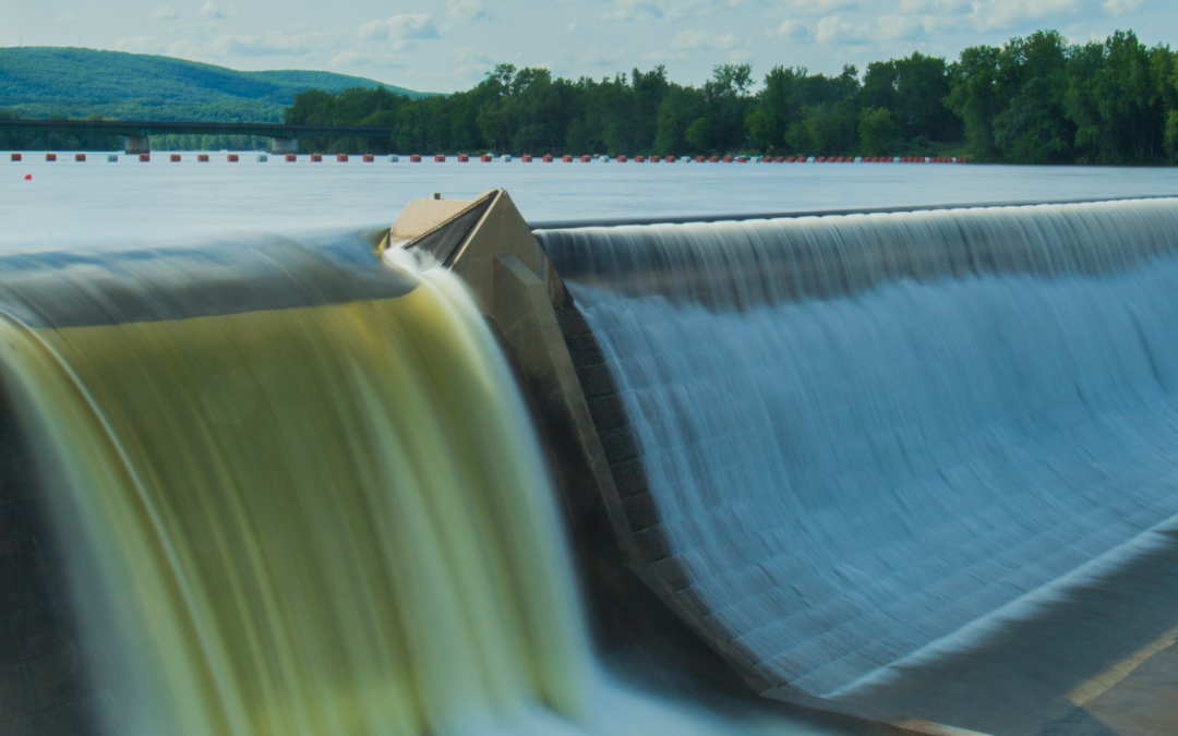
All across the US, hydropower plants are nearing the end of their current licenses, allowing communities to reevaluate them through the Federal Energy Regulatory Commission (FERC) relicensing process. There are a little over one thousand FERC licensed dams across the US, and more than 400 of them are scheduled to come up for relicensing by 2033.