Why are data hard to value? Data as derived demand
Why are data hard to value? Data as derived demand Last Updated November 26, 2018 Nobody wants data just for the sake of data. Data are valued for their end use (derived demand). When data producers and users are the same organization, assessing the value of data is...Why are data hard to value? Data’s unique attributes
Why are data hard to value? Data’s unique attributes Last Updated November 26, 2018 What is the value of my data? What is the value of sharing my data with others? These seem like simple questions, but data are not simple assets. The unique attributes of data making...Mind the gap
Mind the gap Last Updated November 26, 2018 The value of data is best understood when data can be linked to a specific impact, but sometimes that doesn’t happen due to gaps. Download Design gaps can prevent data from moving to information. Design gaps include missing...River Rally 2018
River Rally is an annual conference that provides practical education, inspires courage, and celebrates achievements related to river and water issues. The Water Data Collaborative presented on a framework for how citizen scientists can help their data reach impact by making their data more discoverable, accessible, and usable. Lauren Patterson spoke on the Internet of Water to provide broad context for these important conversations.
Connecting Texas Water Data Workshop
The Connecting Texas Water Data Workshop brought experts together to identify critical water data needs and discuss the design of a data system that facilitates access to and use of water data in Texas. Participants worked in facilitated sessions to identify, describe, and list 1) who needs, 2) what data, 3) in what form, 4) to inform what decisions about water in Texas. Martin Doyle synthesized and reflected findings from these discussions to the larger group.
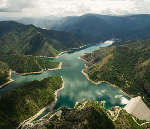
Internet of Water Roundtable: Texas
The Aspen Institute and Nicholas Institute for Environmental Policy Solutions are hosting a series of roundtables about the Internet of Water in different geographic regions and with different sectors. This roundtable on multiple ongoing water data initiatives in Texas, particularly with regards to emergency response water data following Hurricane Harvey.
Internet of Water Roundtable: Agriculture
The Aspen Institute and Nicholas Institute for Environmental Policy Solutions are hosting a series of roundtables about the Internet of Water in different geographic regions and with different sectors. The St. Louis roundtable focused on the agricultural community as the largest consumptive water user in the United States and a large private water data stakeholder.
Water Information Management Systems Workshop
The Water Information Management Systems workshop was hosted by the Western States Water Council and NASA. The workshop focused on water use reporting/permitting systems, IT-related adjudications, cloud computing, big data, and remote-sensing techniques. Lauren Patterson spoke on the potential for the Internet of Water for sharing and integrating data.
American Water Resources Association Annual Conference
The Nicholas Institute for Environmental Policy Solutions and the Consortium of Universities for the Advancement of Hydrologic Sciences, Inc. cohosted two topic sessions on sharing and integrating water data for sustainability. These sessions discussed the Internet of Water and how different sectors (federal, regional, state, and private) are engaging with water data.
Internet of Water Roundtable: Great Lakes
The Aspen Institute and Nicholas Institute for Environmental Policy Solutions are hosting a series of roundtables about the Internet of Water in different geographic regions and with different sectors. The Great Lakes roundtable focused on the challenges and opportunities of sharing data to address the water quality issues facing industry, lake-side cities, and agricultural communities.
Internet of Water Roundtable: California
The Aspen Institute and Nicholas Institute for Environmental Policy Solutions are hosting a series of roundtable events for the Internet of Water in different geographic regions and with different sectors. The California roundtable focused on the regulatory framework for opening and sharing water data.
World Water Week 2017. Water and Waste: Reduce and Reuse
World Water Week in Stockholm 2017 focused on finding ways to better use, and reuse, the world’s increasingly scarce freshwater resources. Al Cho and Martin Doyle presented on the Data Drought: An Assessment of Global Hydrological Monitoring Systems.
What are data, information, and knowledge?
What are Data, Information, and Knowledge Data, information, and knowledge are often used interchangeably. However, these terms represent different stages of value creation from data to decision-making. Download Data are the raw alphanumeric values obtained...
Forecasts increase productivity and mitigate extreme weather impacts
The National Weather Service is the primary source of public weather data and forecasts used to inform decision-making and mitigate losses from extreme weather. A willingness-to-pay survey and an impact analysis suggest the potential benefit-to-cost ratio is between $3 (includes forecasts from all federal and private agencies) and $15 (assumes most of the underlying data and forecasts come from the National Weather Service) of value for every $1 spent.
Stream gage data improves flood management
U.S. Geological Survey stream gage data are used by organizations to better manage floods through reservoir operations and design, flood forecasting, and floodplain management. The estimated benefits of stream gage data for flood-related decisions were assessed using direct surveys and the Business Model Maturity Index method. The value of data varied dramatically depending on whether the data were considered responsible for the full benefit of flood management decisions or a relative contribution to the decision.